Urban Analytics
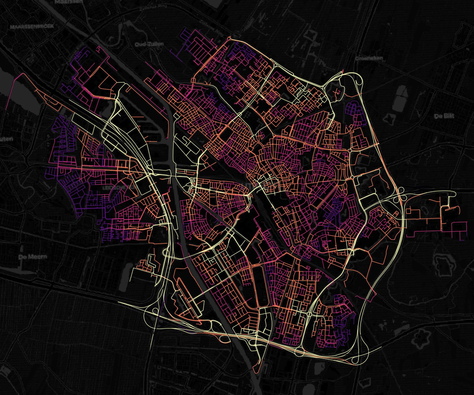
At the Urban Analytics Lab, we are dedicated to exploring the intricate relationship between urban form, human mobility, and the quality of life experienced by different populations. We pioneer innovative methodologies for measuring accessibility and understanding mobility outcomes, by leveraging advancements in spatial data science, graph theory, network analysis, and urban design. We employ these methodologies to investigate how various urban forms, mobility scenarios, and human activity patterns influence people’s access to essential services, employment opportunities, and amenities.
The Urban Analytics Lab's primary research focus is improving and maintaining accessibility for all. The design of neighborhoods, the distribution of human activities over space and time, and the mobility dynamics impact individuals and communities differently, not just in terms of who can access what. They also have far-reaching implications for environmental exposures, public health, energy consumption, how people perceive and experience the urban environment, and whether it promotes or hinders encounters and interactions. By shedding light on the complex dynamics between urban form and people’s flows, we strive to inform more sustainable, equitable, and livable cities for all.
Through collaborative partnerships with academic institutions worldwide, local governments, and community organizations, we translate research findings into actionable insights and evidence-based recommendations for policy-makers, designers, and urban practitioners. We teach several courses at the graduate and undergraduate levels to equip future generations with the tools and skills to accelerate urban transitions. Our research is funded by national (NWO, KNAW, Medical Delta) and international organizations (Horizon 2020, SSHRC Canada, FAPESP Brazil) and has benefited from collaborations with academic institutions across Europe, the United States, Canada, and Brazil.
Key research areas
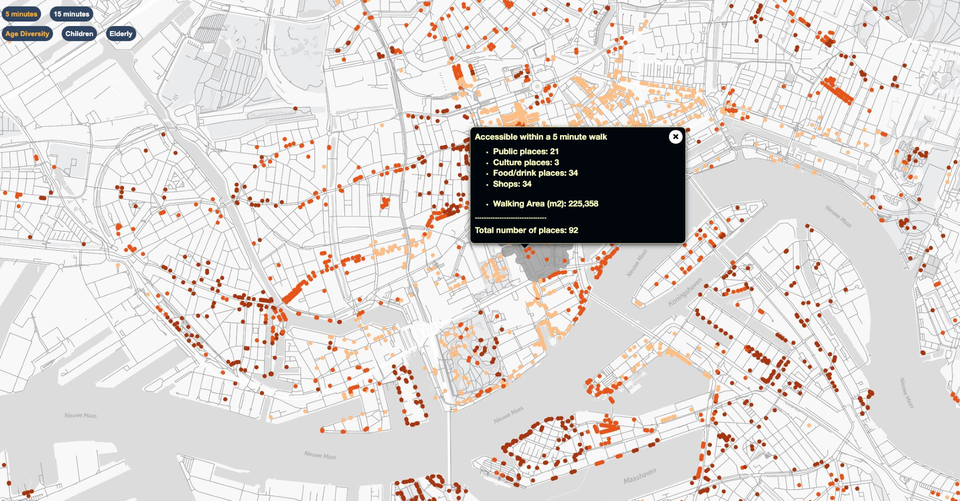
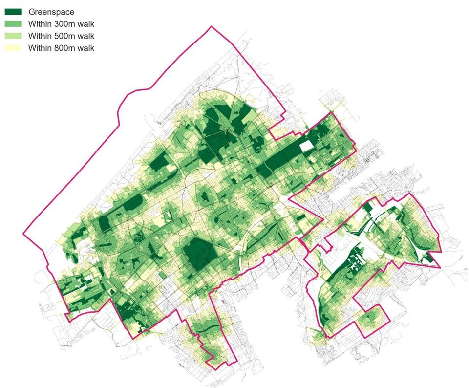
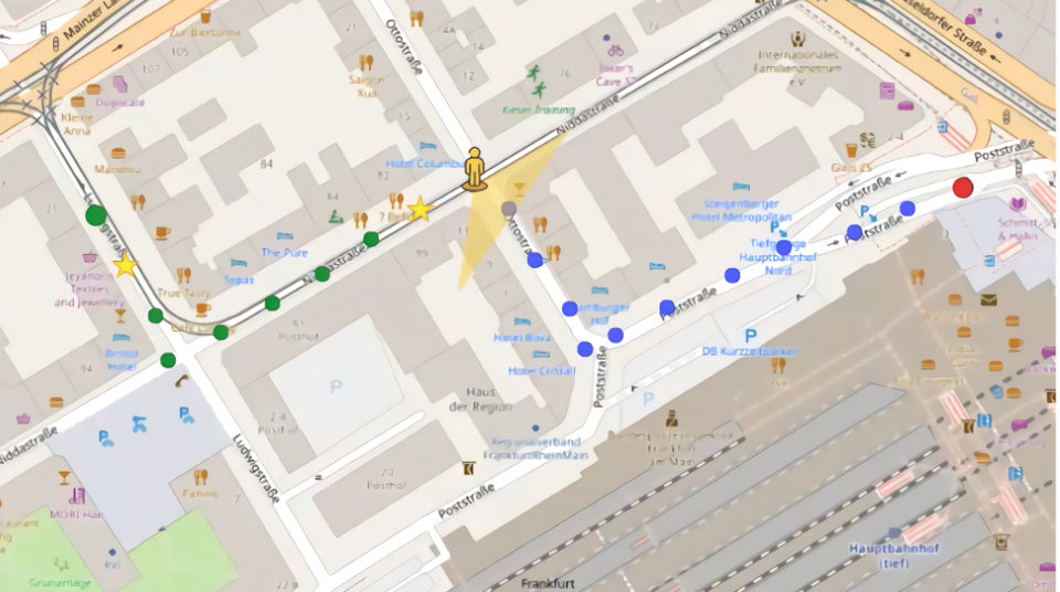
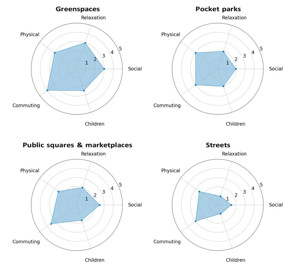
measurements of accessibility and mobility across different populations · pedestrian accessibility analysis · walkability, active travel modes · perceived urban qualities · land-use and transport interactions · socio-demographic influences on mobility and accessibility · greenspace accessibility · interrelations of urban form with environmental exposures · X-minute cities and neighborhoods · applications of spatial data science in accessibility and mobility planning.
Urban Analytics News:
- [December 4, 2024] | Achilleas Psyllidis delivered an invited lecture as part of the Urban X Seminar Series at KAIST, South Korea. The recording of his talk is available to watch here.
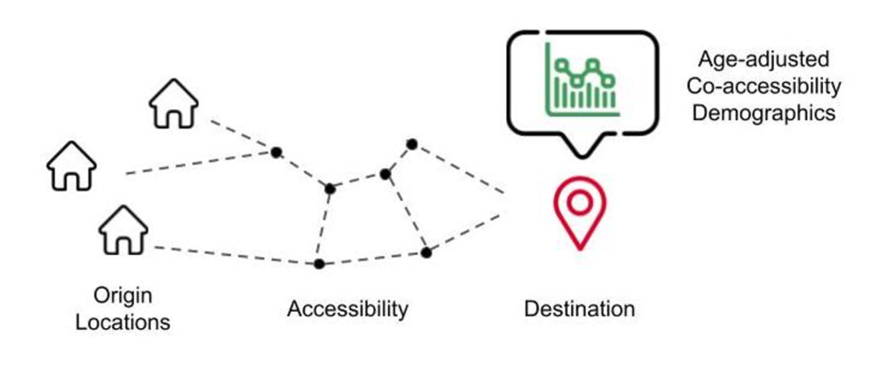
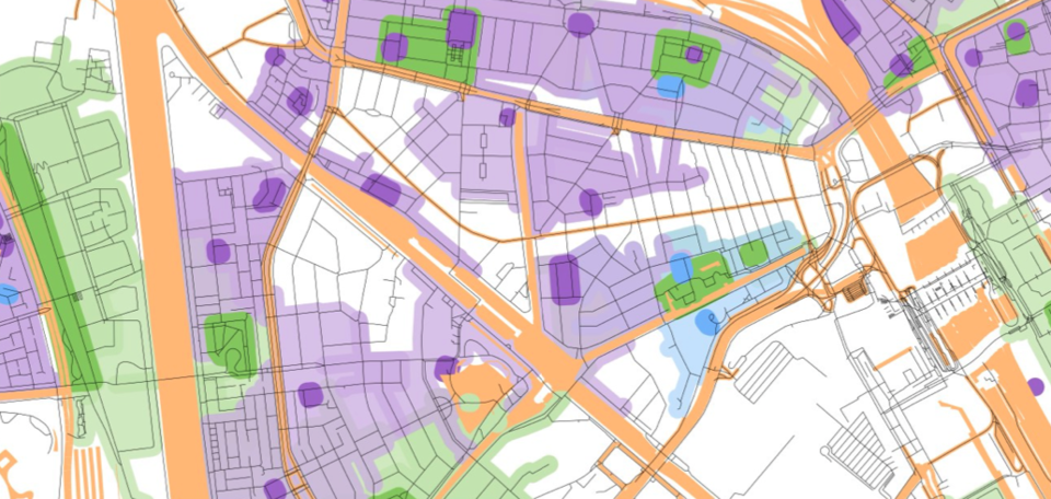
- [October 16, 2024] | New article in the Journal of Transport Geography, "Bridging or separating? Co-accessibility as a measure of potential place-based encounters." Read it here.
- [Oct 4, 2024] | Roos Teeuwen successfully defended her PhD dissertation on "Measuring Children's Access to Urban Greenspace." The dissertation is available here.
- [Sep 26, 2024] | Vasileios Milias successfully defended his PhD dissertation on "Urban Co-accessibility." The full dissertation is available here.
- [Sep 24, 2024 ] | Achilleas Psyllidis shared insights on how the 15-minute city influences accessibility, equity, health, and well-being during a DUT Urban Lunch Talk webinar. You can watch the full recording here.
- [Sep 16–20, 2024] | Check out 'The Accessible City', a Team Science story featuring Achilleas Psyllidis and other TU Delft mobility researchers. This article is part of the broader TU Delft Urban Mobility campaign, 'City on the Move'
- Read more news here.
Publications
See our publications here.
Software Tools & Datasets
Projects
Education
People

Alessandro Bozzon
- +31 (0)15 27 87822
- a.bozzon@tudelft.nl
- Personal website
-
Room B-3-370
Working days: M T W T F
"Twenty years from now you will be more disappointed by the things you didn't do than by the ones you did do."
Alumni

Vasileios Milias


