Revolutionising Water Level Monitoring: TU Delft's Alticube+ Selected by ESA
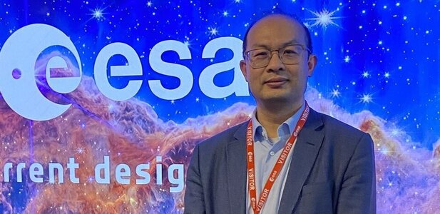
When water levels on Earth rise or fall, we need to know quickly to ensure no one is in danger. To do this, it's essential to understand the global water system and measure water levels frequently at high accuracy, high resolution and in many places. Dr. Jian Guo and his team at TU Delft, in collaboration with industrial partners COMET Ingeniería and ISISPACE, have developed a new concept called Alticube+. This proposal was recently selected by ESA from over seventy proposals for further development with a team of ESA experts.

Dr. Jian Guo, (Space Systems Egineering): “The goal of ALTICUBE+ is to measure water levels worldwide more frequently, accurately, and cost-effectively. This will provide better insights into changes in height and currents, essential for improved early warning systems and a better understanding of the long-term global water system.”
Precise measurements with radar interferometry
With radar altimeters on satellites, it is already possible to measure water levels around the world. However, to obtain even better data, especially from coastal areas and smaller water bodies like rivers and lakes, more precise measurements are needed. Radar interferometry makes this possible by using two radar antennas at a fixed distance from each other to create highly detailed images, as demonstrated by NASA's SWOT satellite.
Linking multiple small satellites
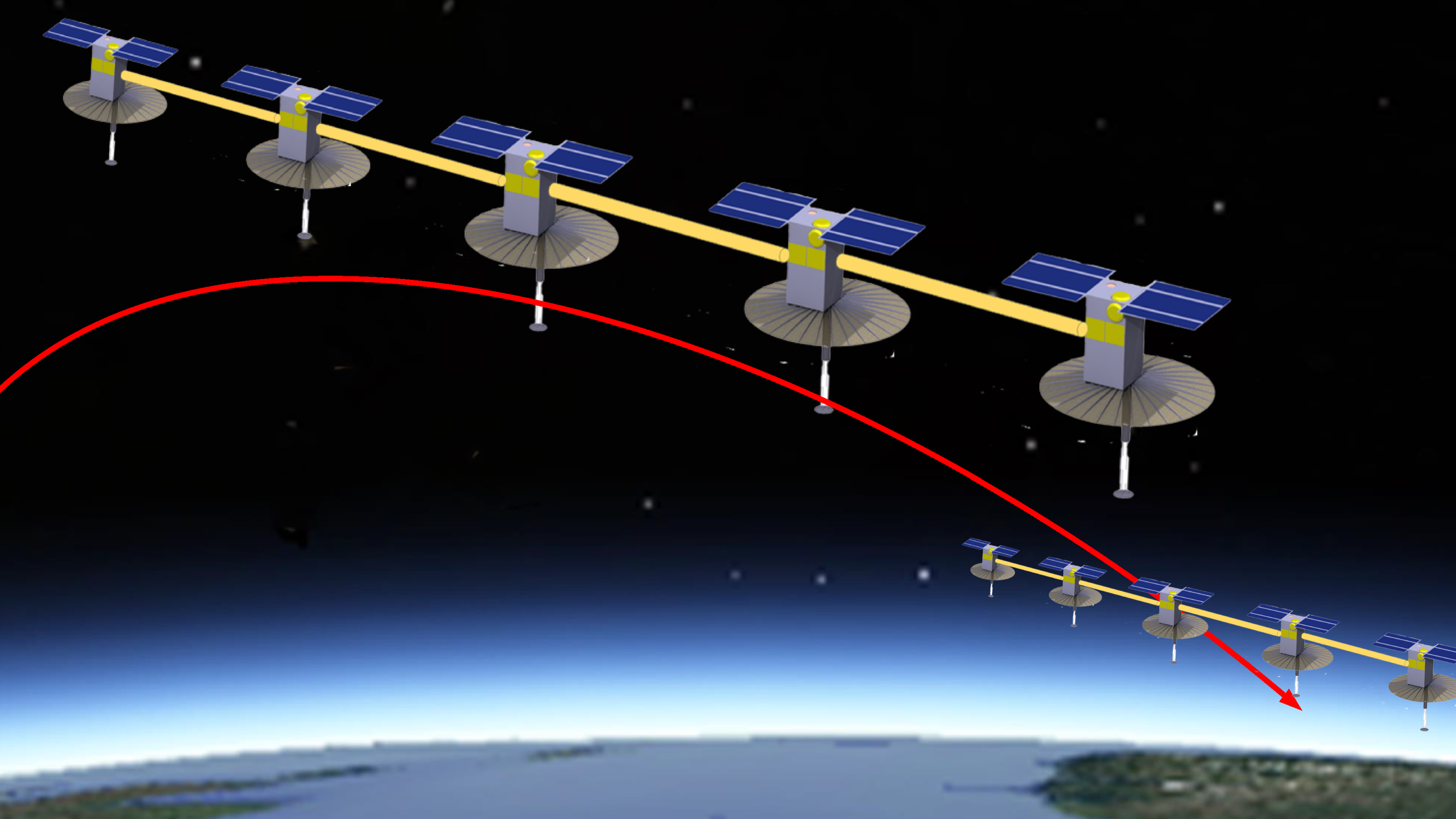
However, developing such a satellite took fifteen years and cost over a billion dollars. To obtain the detailed and frequent measurements needed, multiple such satellites would have to be launched. Instead of such a complex and expensive system, the team proposes a new idea called AltiCube+. AltiCube+ aims to link multiple small satellites, CubeSats, with long deployable booms to create a relatively inexpensive long baseline of ten meters or more. This baseline is necessary for creating detailed 3D images.
Prof. Peter Hoogeboom (Geoscience and Remote Sensing): “The design of a suitable instrument that can operate within the limited space and power availability of cubesats is a challenge in itself and time was limited. Luckily, earlier design work at TU Delft in the field of miniature radar altimeters for oceanographic and hydrological applications helped us quickly on the way, thanks to the support of the knowledge network on Radar Instruments and Applications. It is very rewarding that these studies which started ten years ago now find a way to realisation.”
Winning ESA’s swarm satellite challenge
"The next revolution in space technology could be using swarms of small spacecraft working together rather than one much bigger spacecraft," was the idea behind ESA's call for proposals in early 2023. More than seventy teams submitted proposals, and seven of them made it to the final round. Among these finalists were TU Delft's Alticube+ and "16U4SBSP." In April, the seven teams presented the results of their six months of work and how they utilized the €100,000 development funding they received from ESA. Ultimately, ESA decided to select two winners: COMCUBE-S and AltiCube+, each for a CDF study by a team of ESA experts and a nine-month Phase-A study by the winner.
The support from ESA is extremely valuable. Having so many ESA experts take the time to think with us and use their expertise to advance the project is a big step forward for AltiCube+. We hope to start with the Phase-A study by the end of this year and aim to have the operational mission launched by 2029.
Jian Guo
