Vertical reference
We aim to develop and implement methodologies to realize and unify height and depth systems.
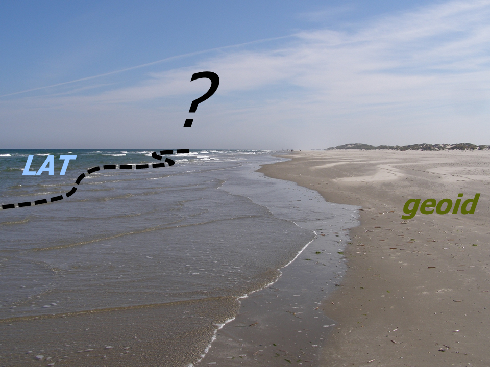
Heights on land and depths at sea are typically expressed relative with respect to fundamentally different vertical reference surfaces. On land, the vertical reference is typically a "level surface" (also called an "equipotential surface" or "geoid"). At sea, it is the water level corresponding to a certain low phase of the tide. Many countries adopted Lowest Astronomical Tide (LAT) as the depth reference surface. Both make sense. To build, for example, a dike, it is convenient to use a height system in which two points with equal heights are approximately in the same level surface. Indeed, this implies there is no water flow between these points. A pilot in charge of navigating a ship, however, is interested in the minimum water depth he can expect along his sailing route.
On the other hand, many applications require the combination of height and depth data. Example applications include flood impact assessment and coastal zone management. The combination requires establishing the spatial varying relationship between both types of vertical reference surfaces. Typically, this relationship is only known at the tide gauge locations. Our in-house developed methodology allows establishing this relationship with high spatial resolution and accuracy over the entire region of interest. Key steps are the computation of a high-resolution, accurate geoid model and the development of a hydrodynamic model that produces water levels relative with respect to this geoid.

Typically, this relationship is only known at the tide gauge locations.
Our generic methodology has successfully been applied to the Dutch North Sea and coastal waters. Unprecedented accuracies have been achieved. The vertical reference surface on land is computed with sub-centimeter accuracy. The one at sea with an accuracy of one decimeter. Future work aims to extend the methodology at global scales. Specific challenges include the utilization of satellite radar altimeter data in calibrating hydrodynamic models (in many areas no tide gauge data are available) and in computing high-resolution geoid models (shipboard gravity data are sparse), and exploiting the full information content of satellite gravimetry data in computing the geoid.
Another research topic is to improve height system realizations by the utilization of model-based hydrodynamic leveling. Here, a high-resolution hydrodynamic model is used to determine the differences in total mean water levels between tide gauges A and B. Adding this difference to the observation-derived mean water level at tide gauge A provides the mean water level at the tide gauge B relative with respect to the height datum used at tide gauge A. In the ongoing Versatile Hydrodynamics project, this technique will be exploited to improve the accuracy of the realization of the European Vertical Reference System.