MSc Geomatics
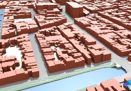
Increasing environmental and societal challenges as well as rapid digital advancement call for innovative ways to interact with, design and model our built surroundings. In Geomatics for the Built Environment we use geographic data to find solutions for current and emerging challenges. Some of the questions you will address are: How do you efficiently model every building in a country in 3D? How do you simulate air pollution flowing through a city? How do you find the best location to place one million homes? How do you locate large plastic accumulations in water bodies? How do you develop new methods for navigating through an indoor environment? How do you deal with large amounts of data in an effective way?
Watch this teaser for an introduction to the programme. Do you want more in-depth information? Watch the second video on this page.
Degree: Master of Science Geomatics
Credits: 120 EC, 24 months
Start: September
Language of instruction: English
Geomatics – for the Built Environment
The science of Geomatics concerns the acquisition, modelling, analysis, management and visualisation of geographic data with the aim of gaining knowledge and a better understanding of the built and natural environments. The programme at TU Delft differs from other Geomatics programmes in its broad and interdisciplinary nature and technical depth as well as its close connection to the Faculty of Architecture and the Built Environment. With increasing amounts of geographic data being collected and growing insight into how value can be added through analysis of this data, the demand for experts in the field is rapidly growing. Hence Geomatics graduates easily find jobs in companies, universities and governmental institutes locally and abroad.
At Geomatics we host a high percentage of international students with very diverse academic backgrounds. The fact that the programme is relatively small contributes to a communal group feeling among the students and a close connection to the lecturers. Additionally, the student association GEOS regularly organises career-related and social activities such as the annual trip to the INTERGEO conference in Germany.
What will you learn
With Geomatics for the Built Environment you will learn to use advanced techniques in data analysis, geographic data modelling and the visualisation of data. To be able to do this, you will develop expert skills in different programming languages such as Python, C++ and SQL, as they are essential for solving many of the Geomatics-related questions we need to consider.
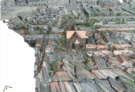
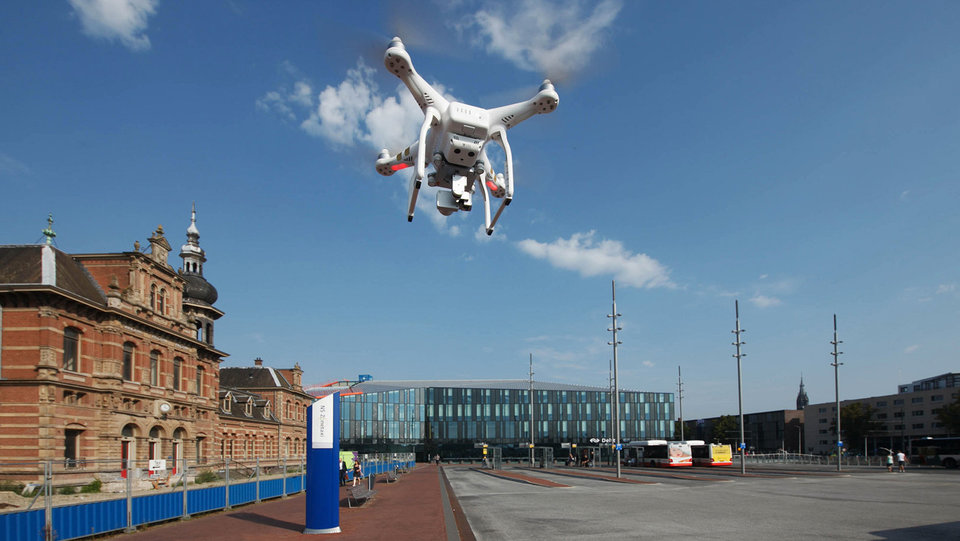
The remote sensing techniques that you will learn in this programme give you the ability to measure and observe our environment and especially those features that cannot be seen with the human eye. Data management and analysis techniques allow you to turn these measurements into useful information and knowledge, with which patterns can be identified, behaviour over time can be tracked and a future state can be predicted. You will apply your skills in 3D modelling, GIS, mapping, serious gaming, simulation and visualisation to a wide range of fields such as urban planning, disaster management, geodesign, location-based services (LBS) and land administration.
Beyond that, you will acquire knowledge about the use and governance of geographic data. In Geomatics you will implement the principles of open science to the greatest extent possible. In your assignments you will use open data and open source software, and your research results will be openly published in the university’s repository.
