Exploring the ancient art of wave pattern navigation
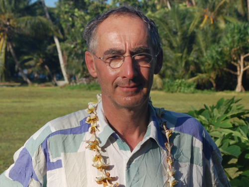
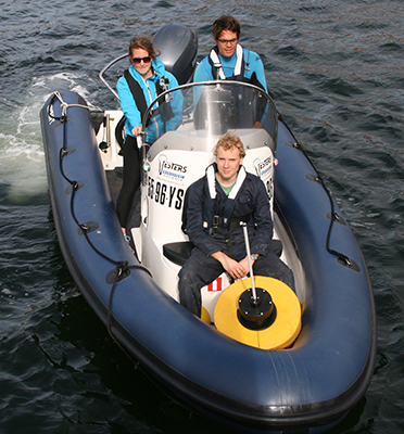
The native people of the Marshall Islands were able to find their way safely from one island to another by reading the waves, even when hundreds of kilometres separated them from the welcome sight of a friendly shore. Having neither compass nor gps, they almost always managed to get to where they set out to be. Gerbrant van Vledder, oceanographer at TU Delft, was intrigued and wanted to know how they did it. Accompanied by two fellow scientists he followed a Marshallese sailboat in order to study and preserve the ancient art of wave pattern navigation.
Setting a course
Their journey took five days. Captain Alson Kelen set the course. Kelen is probably the last remaining navigator to plot a course by means of the sun, moon and stars. Gerbrant and his colleagues studied his methods and asked him how he interpreted what the waves were telling him. In the open sea the navigators make use of the regular motion of the ocean swells. The direction and timing of the waves is relatively constant. This makes them a useful aid when keeping to a course, which is done by steering the boat at a set angle to the direction of a certain chosen swell.
Feeling the presence of islands
‘The most fascinating aspect of this type of navigation is the way sailors become aware of the presence of nearby islands, some up to 40 kilometres away,’ Van Vledder says. ‘Islands can influence wave propagation in a variety of ways. They can block waves so a shadow zone is created behind the island. The diffraction of waves around an island can change the direction of the waves and cause interference patterns. Islands can even reflect waves. It takes a sharp eye to read the subtle changes in the characteristics of the waves created by the presence of an island but if studied carefully they will give navigators a good idea of where they are in relation to it.’
Maps made of sticks and shells
The islanders record their knowledge in so-called stick charts made from coconut frond ribs and shells which together form a schematic representation of swells, currents, waves and islands. Gerbrant is now trying to integrate traditional knowledge and terms in the western terminology for wave phenomena but the task is proving far from easy. ‘There’s not only a language barrier but a conceptual barrier as well,’ Gerbrant explains. ‘Marshallese navigators use a variety of names for wave phenomena and we don’t always understand what they are meant to describe.’
Wave models
Since arriving home Gerbrant has been spending his time combining local knowledge, his own wave data, satellite data and large scale and small scale wave models in order to get a grip on the intricacies of wave pattern navigation. To explore the interaction between the waves and the islands he is using wave models SWAN and SWASH developed by TU Delft. The WaveWatch III wave model provided him with information about background ocean swells. ‘These models help me to unravel the secrets of the seafarers of the Marshall Islands. And by doing that we can hand over this ancient knowledge to the next generation.’
- For more information read the weblog of Gerbrant van Vledder.


