
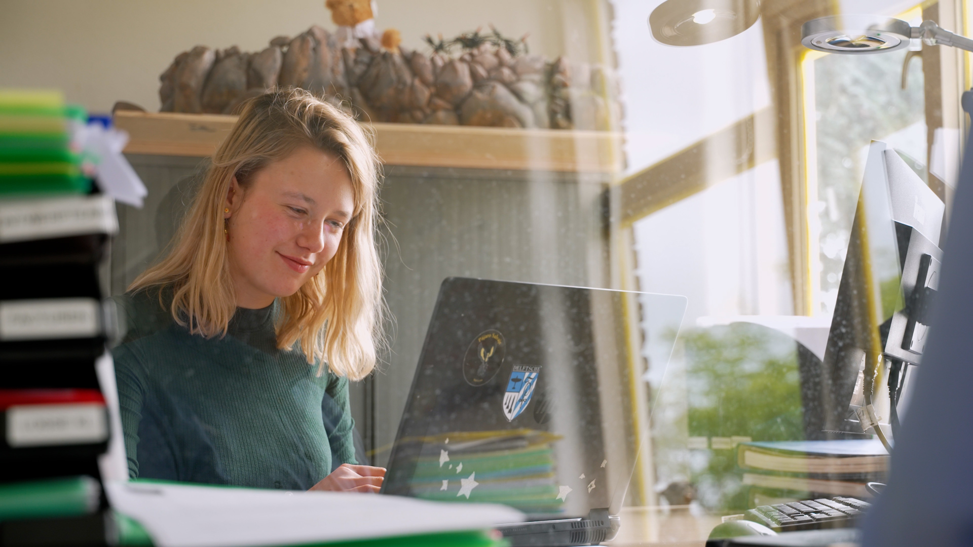
Elephants, monkeys, giraffes, polar bears and lions, BSc student Karian Bruyndonckx enjoys the company of these creatures on her daily lunchtime stroll through the zoo. But while other visitors admire the animals, Karian sees something entirely different. She has a unique perspective on the zoo, one that reaches deep beneath the surface…
Diergaarde Blijdorp has ambitious plans for the future, with large-scale construction and renovation projects aimed at enhancing and expanding the animal habitats. But to build a safe and sustainable foundation, understanding what lies underground is essential. That’s where Karian stepped in! She gathered soil data, analysed it, and created a digital 3D map of the zoo’s hidden underground world.
What did you research?
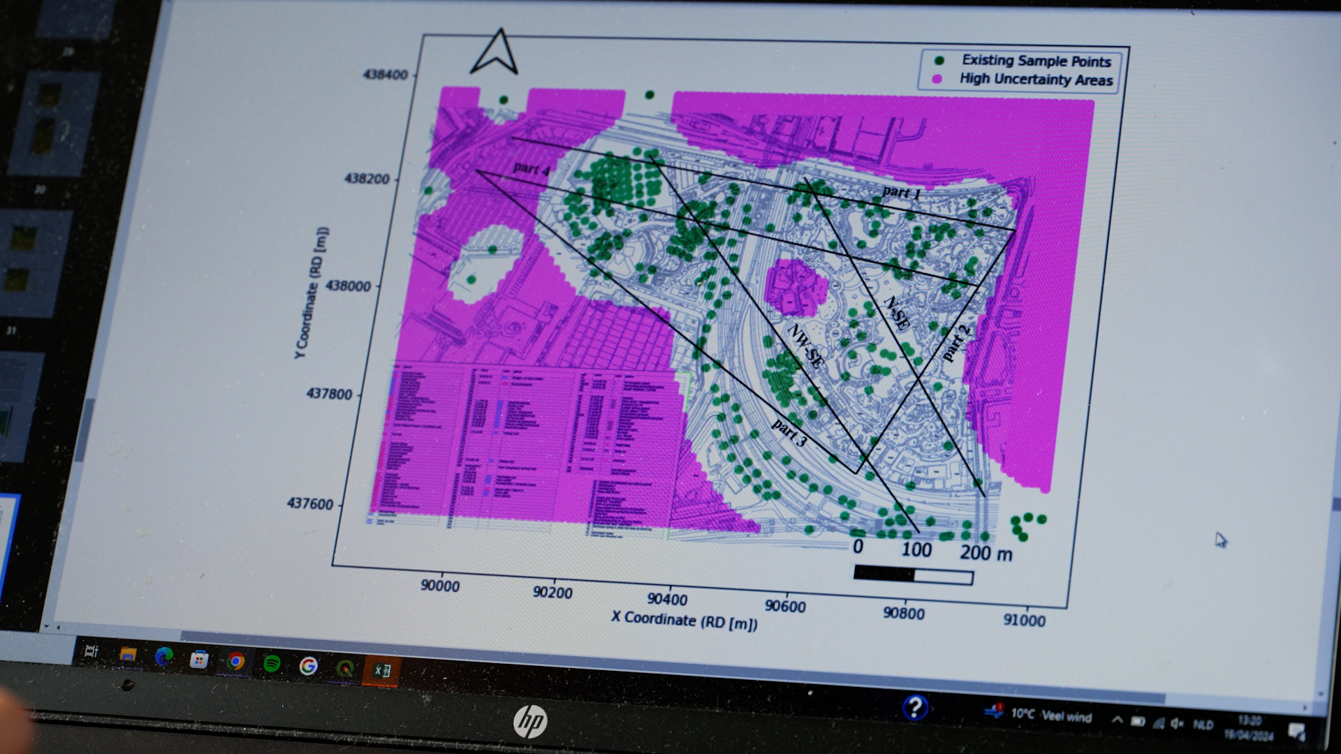
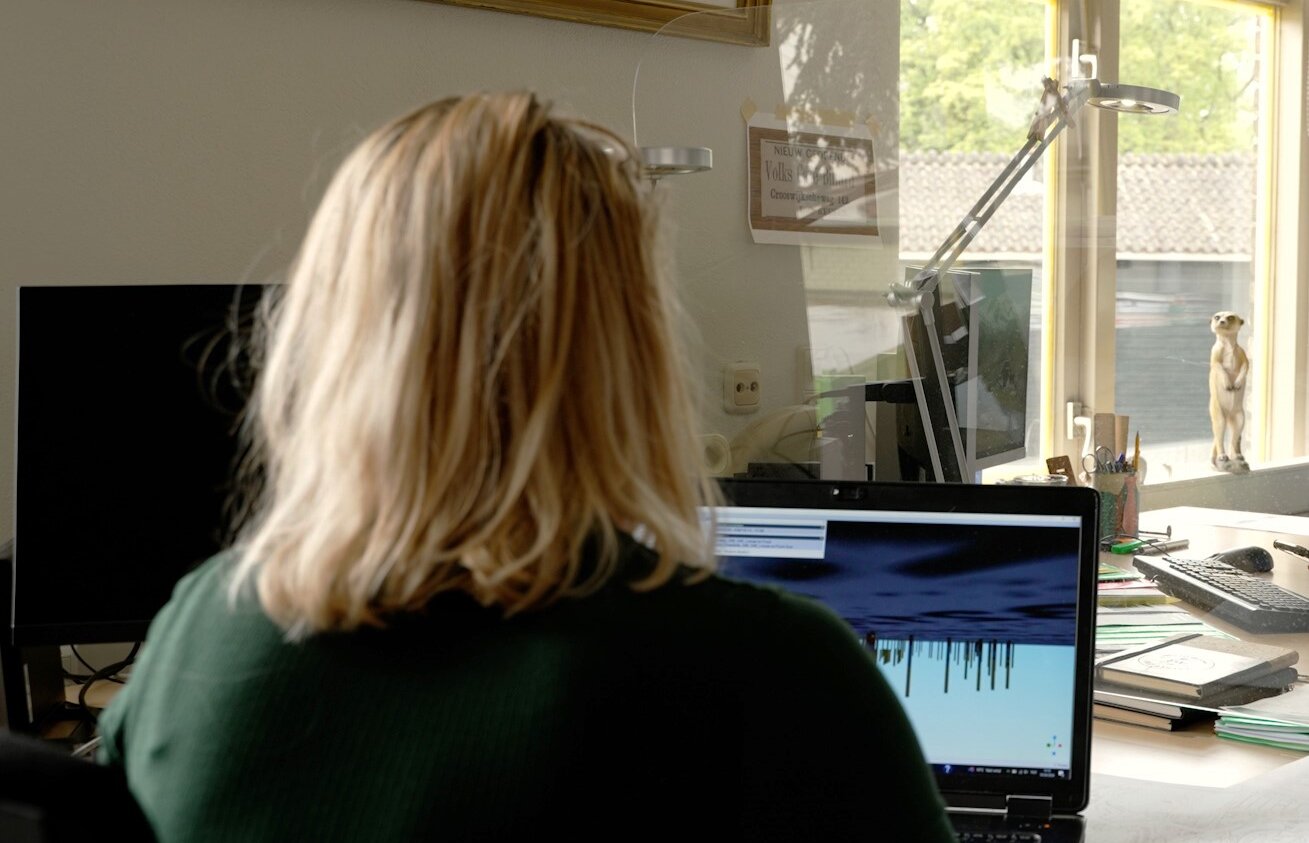
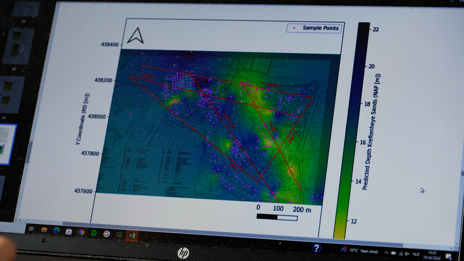
I extensively researched the geological structure of Diergaarde Blijdorp, focusing on the underground layers and their suitability for foundations. I processed geotechnical data, consisting of previously collected soil measurements, to determine where sand layers begin. This data was integrated into a user-friendly programme that provides a digital map of the subsurface. Statistical modeling, such as Ordinary Kriging, helped in analysing spatial variability and predicting uncertainties in the subsurface.
Why is this important?
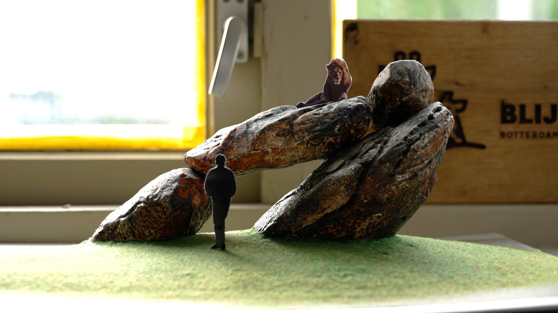
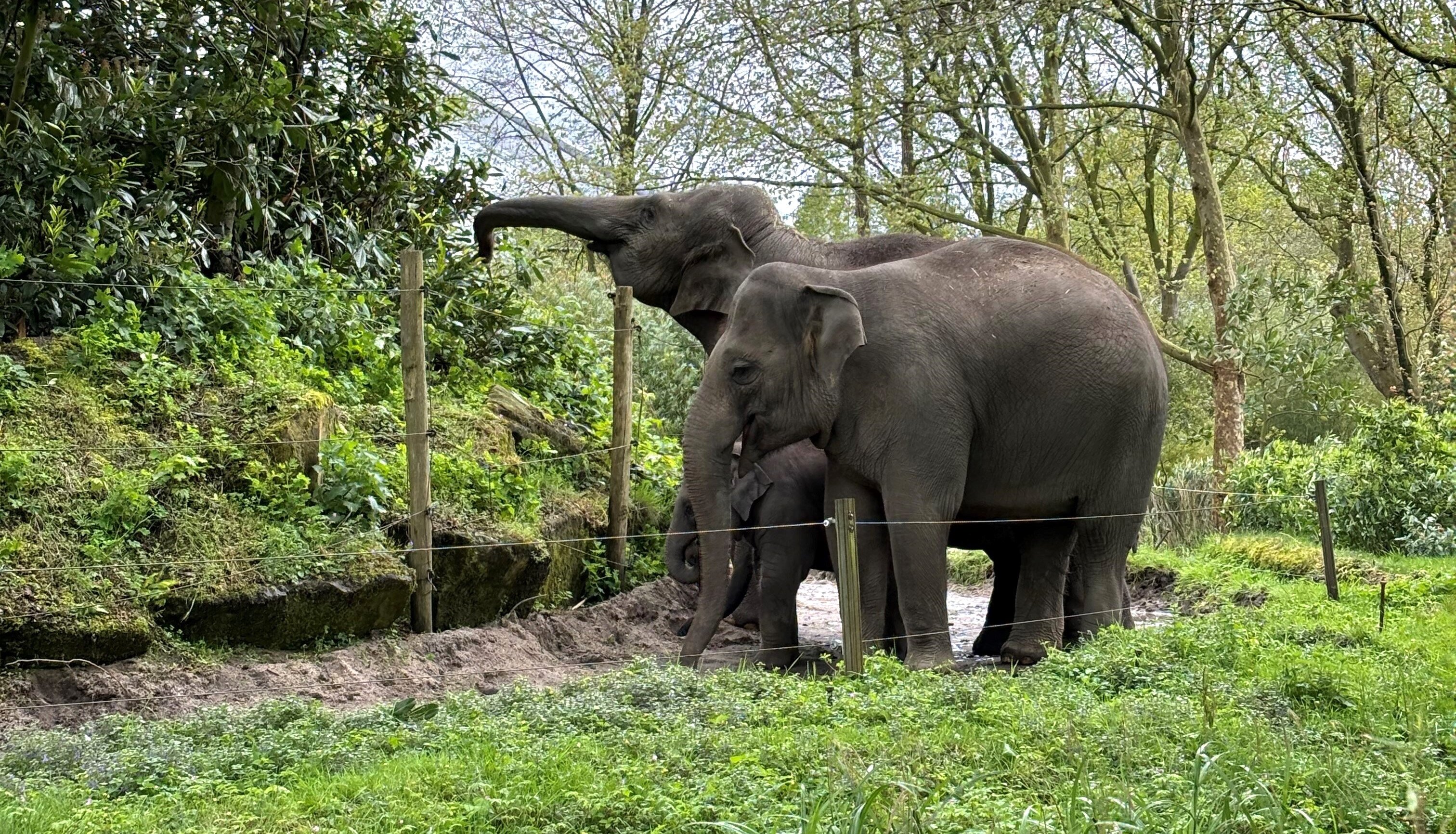
This research is crucial for the future planning of Diergaarde Blijdorp, as outlined in their 'Master Plan 2050', which includes major projects like the expansion of the elephant enclosure. It is vital to know how solid the ground is under large structures and the legs of large animals. My data has already contributed to decisions such as the placement of new rocks in the lion enclosure and plans for an underground parking garage. With this information, Blijdorp can build sustainably and safely, leading to cost savings and minimal disruption of the existing structure.
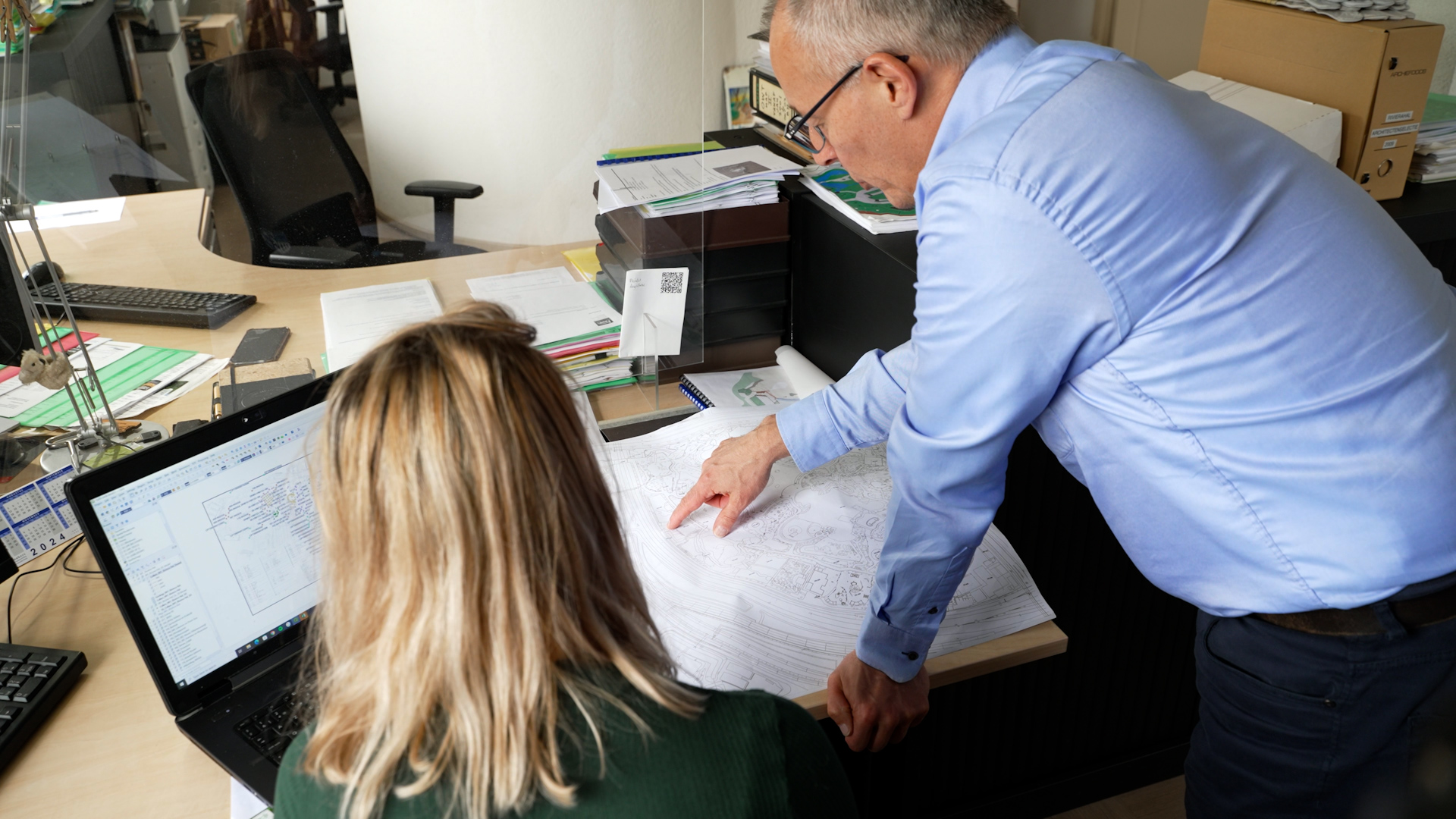
What did the research look like?
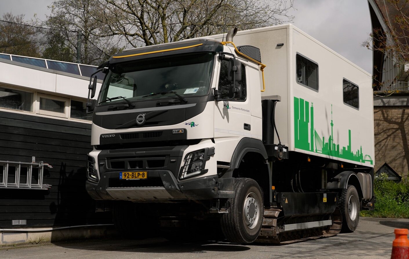
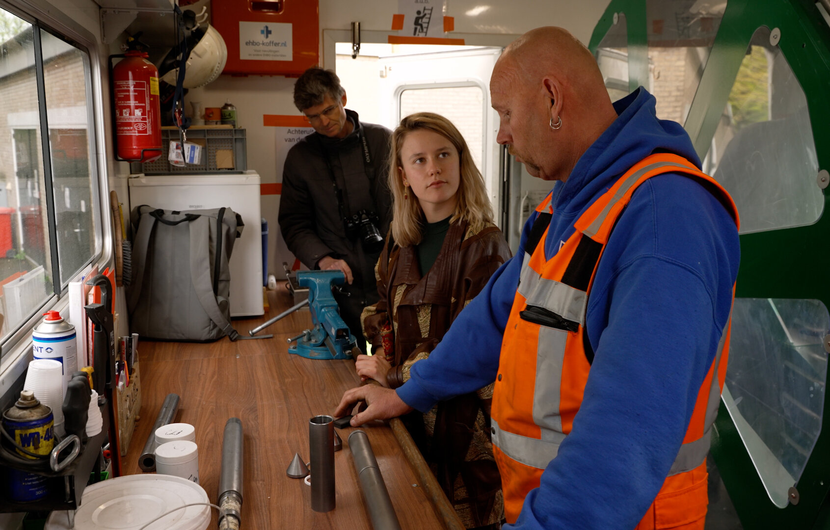
My research started with collecting existing and conducting new soil tests, followed by the analysis and integration of this data into a dynamic database. This database visualizes the subsurface in 2D and 3D, making it easy for staff to navigate. I worked from an office in Blijdorp and gave a training session to the staff on how to use the tool at the end of my project.
What were you most looking forward to beforehand?
I was especially excited to uncover the hidden geological secrets of West Rotterdam and see how I could reveal the geological diversity of the area with existing data.
What is the most important thing you discovered?
The most important discovery was an ancient river, visible through a sand layer. This discovery is very valuable for Blijdorp as it means less deep foundations are needed, saving considerable costs.
What was the biggest challenge?
One of the biggest challenges was developing a method to effectively visualize the geotechnical data and create a tool that the zoo could easily use, which was essential for the practical applicability of my research.
What did you enjoy the most?
I enjoyed most seeing all the research components come together into a coherent whole, and the enthusiastic response of the zoo to the final tool, knowing it would be a valuable resource for them.
What are your plans after your bachelors?
I plan to deepen my knowledge in geotechnics by pursuing a master's degree focused on this field. Additionally, I have founded my own start-up, 'GeoKari Analytics', where I apply the knowledge I have gained about developing geotechnical databases to help other companies. Diergaarde Blijdorp is already a client, which is a fantastic start for the company.


Study related
Why did you choose the bachelor Applied Earth Sciences (now known as Earth, Climate and Technology)?
My choice for the bachelor was driven by my fascination with the dynamic processes of the earth. This interest was sparked during geography lessons in school, where I learned about soil science, rocks, and the atmosphere. I find the interaction between geological and biological aspects of the subsurface and their impact on the atmosphere particularly intriguing.
Which knowledge from your bachelor’s came in handy?
During my bachelor's, I greatly benefited from the knowledge gained in courses such as geostatistics & remote sensing and geophysical methods for subsurface characterization. This knowledge was crucial for thoroughly analyzing and interpreting subsurface data. Additionally, the fieldwork we conducted in France, where we used the same software that I employed for my database, well-prepared me for my project work.


Karian Bruyndonckx
Bachelor Programme:
Earth, Climate and Technology
Master Programme:
Earth, Climate and Technology
*Karian graduated in Applied Earth Sciences, now known as Earth, Climate and Technology.