Instruct
Integrating remote sensing and computational modelling to assess infrastructure conditions
[C23A27]
All over the world infrastructure like bridges and quay walls are crumbling under the impact of climate change and structural ageing mechanisms. As time and funding are not sufficient for all required in-situ inspections and retrofitting, there is an increasingly urgent need for reliable and cost-effective tools to support decisions on maintenance prioritisation.
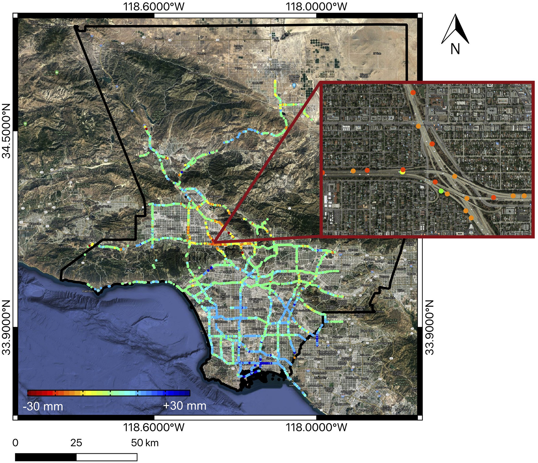
Recent developments in satellite monitoring technology have shown enormous potential in detecting infrastructure deformations, which are often connected to early signs of structural distress. However, little can be learned about the vulnerability of individual assets without coupling this data with knowledge about their structural response.
InStruct will support the global evaluation of infrastructure vulnerability by creating a new automated procedure for the near real-time assessment of structural conditions based on the continuous acquisition of satellite data.


