
Revealing coastal sediment pathways
Stuart Pearson, coastal engineer at TU Delft, receives a NWO Veni grant to investigate sediment pathways. He will specifically focus on tracking individual sand grains. Revealing the interconnected network of sediment pathways that shape our coast will help us to better manage the sediment that builds ecosystems and protects us against flooding.
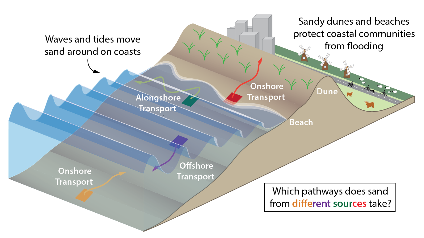
Dunes are important barriers to protect The Netherlands from flooding. To maintain the coastline and its sandy protectors, coastal engineers try to understand the natural system. This way they can better plan effective future coastal adaptations.

Chaos
The coast is constantly on the move. Sand is chronically being eroded and then accumulated elsewhere. But where? Stuart Pearson is zooming in to an unprecedented scale and wants to find out which paths specific grains of sand follow between different places on the coast. It is extremely challenging to track the grains, and not only because they all look the same.
Sediment transport is influenced by waves and currents and moves in all directions. “It looks like one big chaotic mess”, Pearson says. “I consider coasts as an interconnected network of sediment pathways, like a subway map showing how stations are linked. This connectivity reveals the hidden structure underlying chaotic sediment pathways.”
Coloured sand in a big pool
To discover these pathways, Pearson will start to work on an experiment in a laboratory beach. Since it is nearly impossible to distinguish individual grains, he came up with a colourful idea. In a wave basin the size of an Olympic swimming pool at Deltares, he will construct a beach divided into areas with different colours of sand. “I developed a technique to create a dataset of the grains’ movements. Cameras will follow the basin from above and identify where the different colours end up, and especially via which path they arrive there.”
Validating numerical models
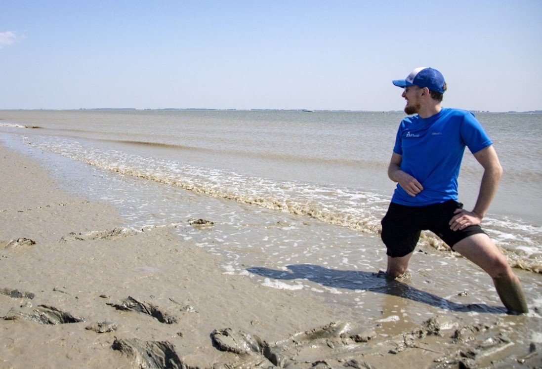
During his PhD, Pearson worked on a field experiment where he tracked fluorescent green sand at the Wadden islands. “Measuring sand paths in the wild is very difficult”, he explains. “I was able to see where some of the green sand went, but that only tells us about a small part of the coastal system. I want to understand the pathways between every part of the system, and we can only do that in the lab.”
Pearson developed numerical models to investigate plausible pathways. He is looking forward to the new opportunities coming on his own path with this grant. “I hope to prove with new lab experiments that the model is physically representing the right processes. And next to that, I hope that other researchers can validate their models of sediment transport through my dataset.”