Research Projects

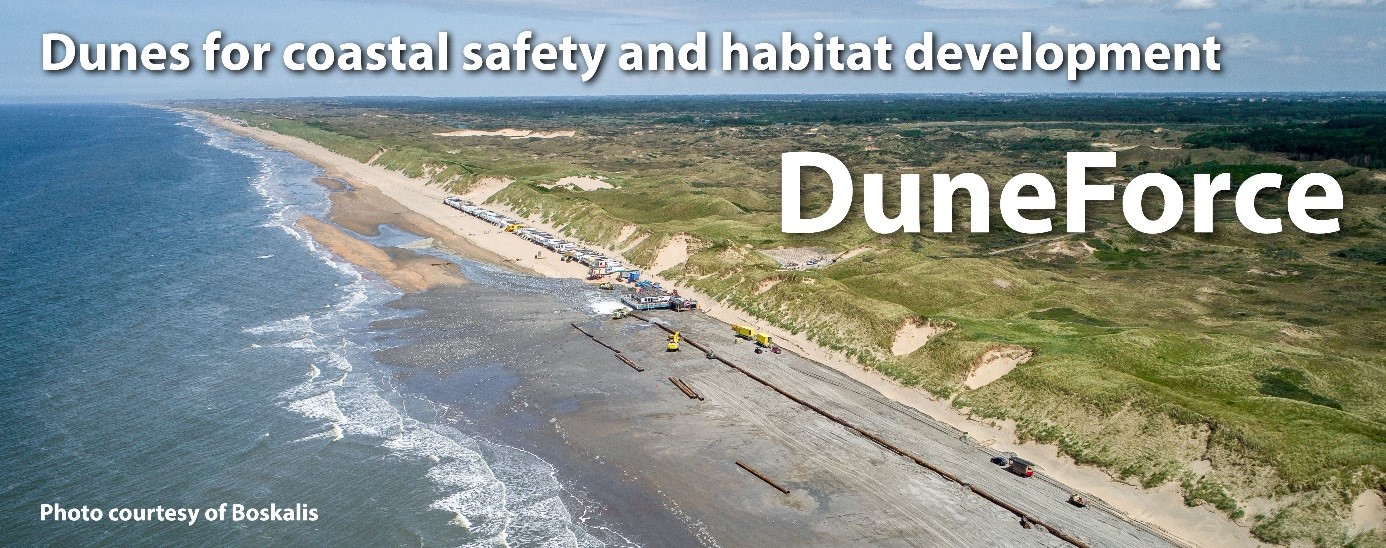
Duneforce 2019-2023
Duneforce involves a comprehensive study on coastal dunes that provide coastal defence and specific ecological habitat to human society. Those values are under pressure due to increased human activity in coastal zones and climate change. Management of coastal dunes relies on knowledge on the relevant eco-physics. However, state-of-the-art knowledge does not yet integrate across coastal domains (shoreface, beach and dune) and relevant disciplines (ecology, morphology, engineering). As a result, it is not possible to anticipate on the combined impact of management strategies for coastal defence and habitat development. DuneForce addresses the eco-physical unknowns at the interfaces of coastal domains and disciplines through a combination of multi-disciplinary field works and numerical simulations. This will result in a quantitative model that predicts the development of the coastal zone in respect to dune habitat and coastal safety. This new model will be applied in several real life case studies to optimize coastal management strategies and interventions in the coastal system.

CoastScan 2018-2022
Sandy coasts are vulnerable to the effects of predicted climate change like sea level rise and weather extremes. More sustainable and dynamic coastal systems are an attractive solution, but such systems need to be resilient, that is, be able to restore themselves after a storm or other extreme event. Presently, a lack of appropriate knowledge, accurate numerical models and suitable measurements limits the resilience determination of sustainable sandy coasts. CoastScan fills this gap by an integrated innovative approach which combines new 4D data acquisition techniques, state of the art modeling and cooperative data delivery to stakeholders. A unique permanent 24/7 laser scanner setup (one of the first in the world) will provide accurate mapping of beach and dune foot topography. The resulting data will be analyzed by machine learning techniques exploiting the dense spatio-temporal data. A data driven numerical model will be developed to model/asses the variability and resilience of the coast.

COCOS-lab 2018-2022
In COCOS-LAB we aim to develop a community based remote sensing strategy to collect data on coastal morphology.
Within my research I focus on predicting the development of the coastal zone using state of the art models in combination with data. Relevant data is often not available and I develop new and innovative measurement techniques to collect the required data that is needed for model development and validation.
Building with Nature
During my PhD research I studied aeolian sediment transport with relevance to the development of coastal dunes within the framework of Building with Nature. The monitoring and modelling of aeolian sediment transport and dune growth has resulted in a PhD dissertation which is titled "Physics of Blown sand and Coastal Dunes."
Nearshore Monitoring and Modelling: Inter-scale Coastal Behavior - (NEMO)
My postd-doc research in the European NeMo project focused on the measuring and predicting the sediment balance and shoreline behavior of coastal systems. I specifically focus on the role of gradients in along-shore sediment transport and cross-shore sediment exchange between the marine and aeolian coastal domain.
Innovatieve Monitoring Strategies
One of the most urgent problems that prevents progress in the academic field of coastal engineering is the lack of field data. For this reason I contribute to the development of new and innovative measurement techniques to monitor and collect data on the behavior of coastal systems and shorelines. Examples of such innovative techniques are Satellite imaging, a Jetski equiped with GPS and echo sounder, optical (photo & video) systems such as ARGUS and the applied use of photogrammetry in smartphone applications for crowd sensing.
Interactive Satellite timelapse (very cool !)
Google has opened a computational cloud in combination with a very large archive of satellite images. This facilitates new coastline analyses on global scales. See the decadal developments of the dynamic system at Hoi Anh barrier spit coast below. You can browse all over the world to view your local coastline dynamics.