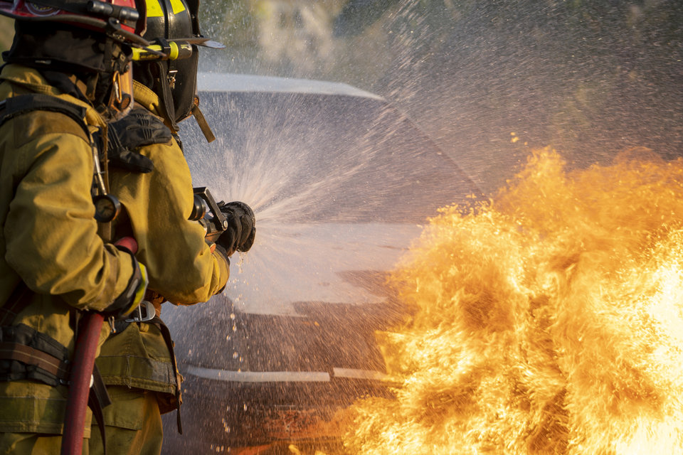
The floods that hit Limburg in 2021 showed that despite a raft of measures the Netherlands remains at risk from rising water. Professor of Hydraulic Engineering Bas Jonkman carries out flood risk assessments in this country and abroad and tries to come up with solutions which, apart from dams and dykes, also involve nature and people.
The Netherlands, which is essentially a large delta, is well known for its water management expertise. Through the ages, innovative solutions, such as the Delta works, have protected the country from the encroaching waves. Dutch know-how is now shared around the world and Bas Jonkman’s work has taken him to delta regions across the world in countries as far afield as Indonesia, China, Mozambique and the United States. ‘Coastal and river flood events make these areas hugely vulnerable to flooding. Add to this the dynamic nature of the delta system and you end up with areas that are not only complex but very interesting from a scientific point of view as well.’
Drivers of flood risk
When assessing flood risks, both the probability of flooding and its consequences are taken into account, Jonkman explains. ’To estimate the probability, you look at natural factors, such as sea level rise, tidal surges and rainfall, as well as the quality of the flood defence infrastructure. There you look at lifespan and maintenance. The consequences of flooding are determined by the number of people who live in the affected area and the presence of industry and businesses. Population growth and economic development are playing an increasingly important role in flood risk assessment, often superseding natural factors. Some cities have doubled in population within a few decades and their economic value has multiplied. This means the impact of a flooding event will be even greater.’
We need better and quicker warning systems. Every second counts.
Scientific disaster tourist
The aim of a risk assessment is to find the best way to prevent or mitigate the impact of a flood event on society and the economy. Wherever a natural disaster takes place, Jonkman follows in its wake. He visited Asia after the tsunami, New Orleans after hurricane Katrina and Limburg after the flood. ‘I sometimes call myself a scientific disaster tourist. The first thing I do when I arrive on the scene is find out what happened and why, look at the kind of flood protection in place and the extent of the damage. To do this TU Delft works with a number of partners, including universities, local authorities, businesses and the people who live in the area.’
Nature as a guiding principle
As soon as the risks have been assessed, Jonkman goes in search of solutions. Where conventional wisdom would have dictated technology-based interventions such as dykes and dams, current thinking favours nature-based solutions. Jonkman: ‘We are looking at how to enable nature to take its course in an area, while at the same time contributing to flood protection. One example is to create a buffer zone off the coast to reduce the impact of the waves before they hit land. Society no longer tolerates disturbance of our eco system. That is why nature based solutions like this are being researched more and more often. A solution such as the Afsluitdijk, which turned the saline Zuiderzee into a fresh water lake would not be acceptable in this day and age, I think.’
Technology still part of the solution
Nevertheless, according to Jonkman, technology-based solutions remain inevitable. ‘Especially in limited spaces or in case of very extreme hydraulic loads. ‘That is why, for instance, storm surge barriers remain an important element in the Dutch flood defence system. The barriers, which are normally opened to benefit nature and to allow for shipping and the movement of water, can be closed when a storm threatens. Take the Maeslant and Oosterschelde surge barriers, two of a very few such structures in the world. But more and more are being built. We are developing new barrier concepts and materials which we can use for delta plans both at home and abroad. They are designed with nature in mind, which means, for instance, that we try to impede outflow to sea as little as possible.’
A solution such as the Afsluitdijk, which changed the saline Zuiderzee into a fresh water lake would not be acceptable in this day and age, I think.
Involving the locals
When it comes to protecting vulnerable areas from flooding it is always important to listen to the locals, Jonkman says. Limburg was a case in point. ‘A year on from a devastating flood no detailed plan to prevent the next disaster has been presented and it’s causing anger and anxiety among locals. We go out and talk to people to find out their questions and needs. Based on these we suggest solutions that the authorities can work with.’ Locals can also be given a say in the type of solution. ‘Houston, in Texas, is a good example of this,’ Jonkman says. ‘The initial idea was to build a ten metre high sea dyke but that deprived people who lived on the coast from their sea view and access to the beach. Together we came to a solution everyone could live with: a lower, broader construction covered with a sand dune.’
Early warning systems
Early warning systems are another part of flood risk reduction measures. There are systems in place but more often the warnings come too late, Jonkman says. Many lives could have been saved in Germany and Belgium last year had they worked faster, he claims. ‘The problem with these systems is that they take so much time. First the measuring system of the water management operator relays the signal to the hydrologist. He then checks if the information is correct and calls the safety region official who has to decide whether or not an alarm should go out to the population. If the answer is yes an text message (or Twitter message) will have to be drafted and sent. It takes absolutely hours when every second counts. At the same time, you want to avoid unnecessary panic. In short, what we need is better and quicker early warning systems.’
Smart technology
This is where smart technology comes in, thinks Jonkman. ‘Machine learning and artificial intelligence enable us to combine real time data very quickly. If we link data like real time water levels, river currents and the latest weather forecasts to information about the risks and vulnerabilities of an area, you can identify the risk hotspots and intervene where action is needed. An important condition is to have a good local evacuation plan in place. Fast flowing and transboundary rivers such as the Geul call for international cooperation. If you just look at the latest water levels in the Dutch part of the system, you’re too late.’
Multilayered flood risk reduction
‘The combination of natural and technical interventions, social resilience and good early warning systems will result in multilayered safely in flood risk management,’ Jonkman says. ‘We can’t put all our eggs in one basket, or think the government will keep our feet dry. The role of science, businesses and citizens is becoming more important all the time. With TU Delft team we try to respond to this with a lab for small-scale solutions, such as temporary barriers in front of buildings. That could work in Valkenburg on the Geul, for instance. Big interventions would need much more time.’
Every delta region is a new puzzle
For Jonkman, every region is a puzzle to be solved. ‘Every region is unique. Solutions which work in one region can’t be simply copied in another. There are of course concepts which can work in other locations within the local context, the Sand Motor, for instance. A mega nourishment (of sand) to shore up the coast can work in more than one place. But there is no such thing as a blueprint. That is what makes it such an interesting challenge. Finding out what the landscape is like and how the water system works, where people live, which solutions work and are financially viable. That is what keeps me fresh and sharp.’
Published: September 2022






![[Translate to English:] [Translate to English:]](https://filelist.tudelft.nl/_processed_/0/b/csm_Header%20afbeelding%20InDetail%20-%20Stefan%20Buijsman%20-%202_01_8b72583971.jpg)
