In the next few decades, the worldwide demand for food is set to double. Africa and South-America will be the main producers of the extra food. But how can large-scale agriculture be achieved if there are no reliable data on the availability of water, when the rain is going to fall, and where? Professor Nick van de Giesen is looking for answers and data.
Lack of available data
“It all started in 2007, when I was in the United States. I was taking a stroll with colleague John Selker and we were talking about what really needed to be done in our field. One of the challenges facing scientists is understanding the water balance in Africa – from a food production point of view, and also because we want to know more about the earth’s climate system in general. It’s scientifically unacceptable that we know so little about what is such a huge part of the world. There is a lack of data. John and I had both worked in Africa before and we found that one of the major problems is that it is near impossible to obtain data.”
Measuring on the ground
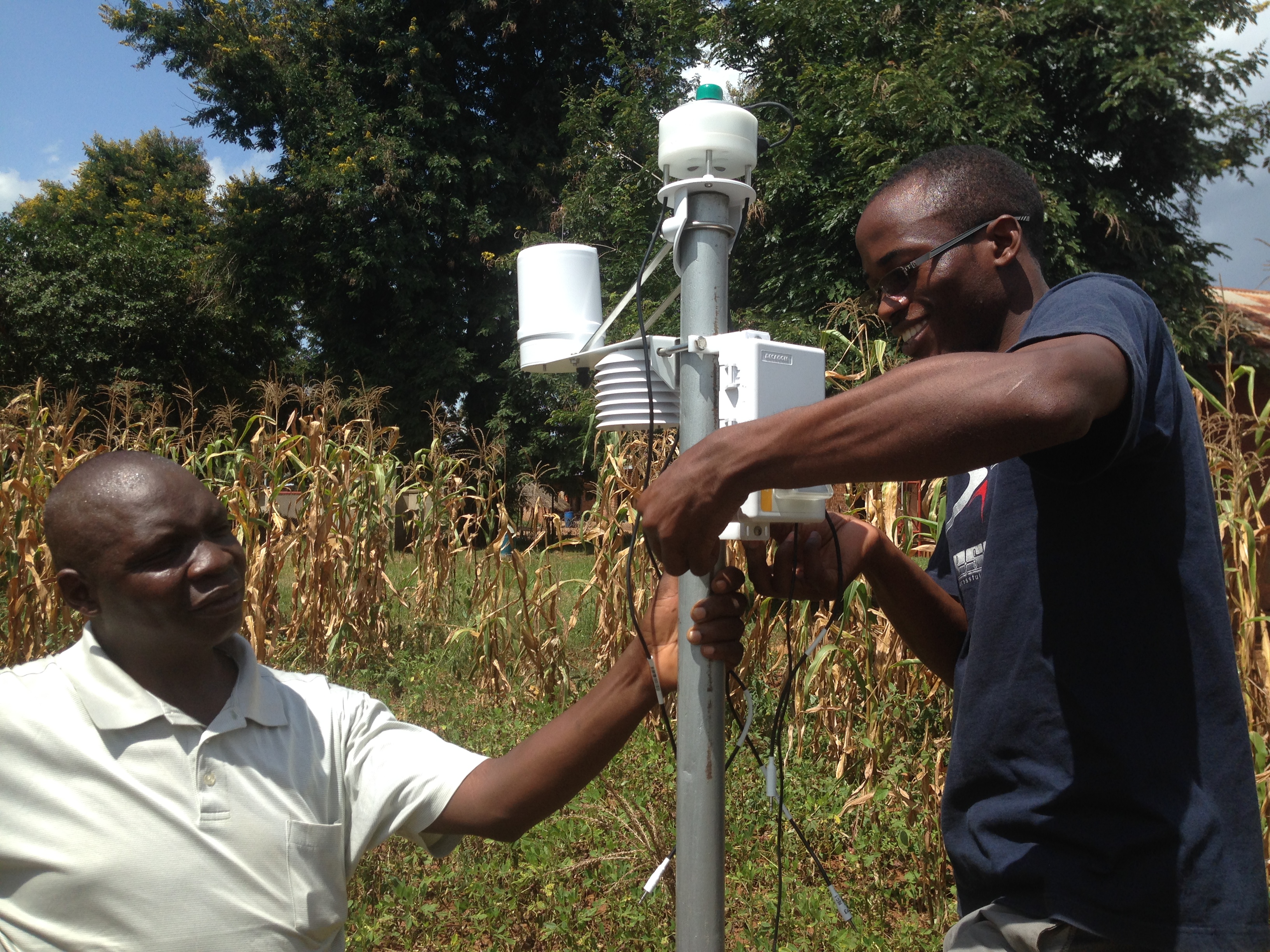
One thing that was happening was satellite observation. But rainfall needs to be measured on the ground as well. The satellite may well spot clouds but it will still be unclear if it is raining, and if it is, how much rain is falling. “To improve rain forecasts, satellite data and weather models have to be combined with observations on the ground. That’s when it came to us: if we put up low-cost technology weather stations and accumulate ground data we would have huge impact. That is how the 'The Trans-African Hydro-Meteorological Observatory’ (TAHMO) was born. Goal: a network of 20,000 weather stations across the whole sub-Sahara Africa.”
The 500th weather station
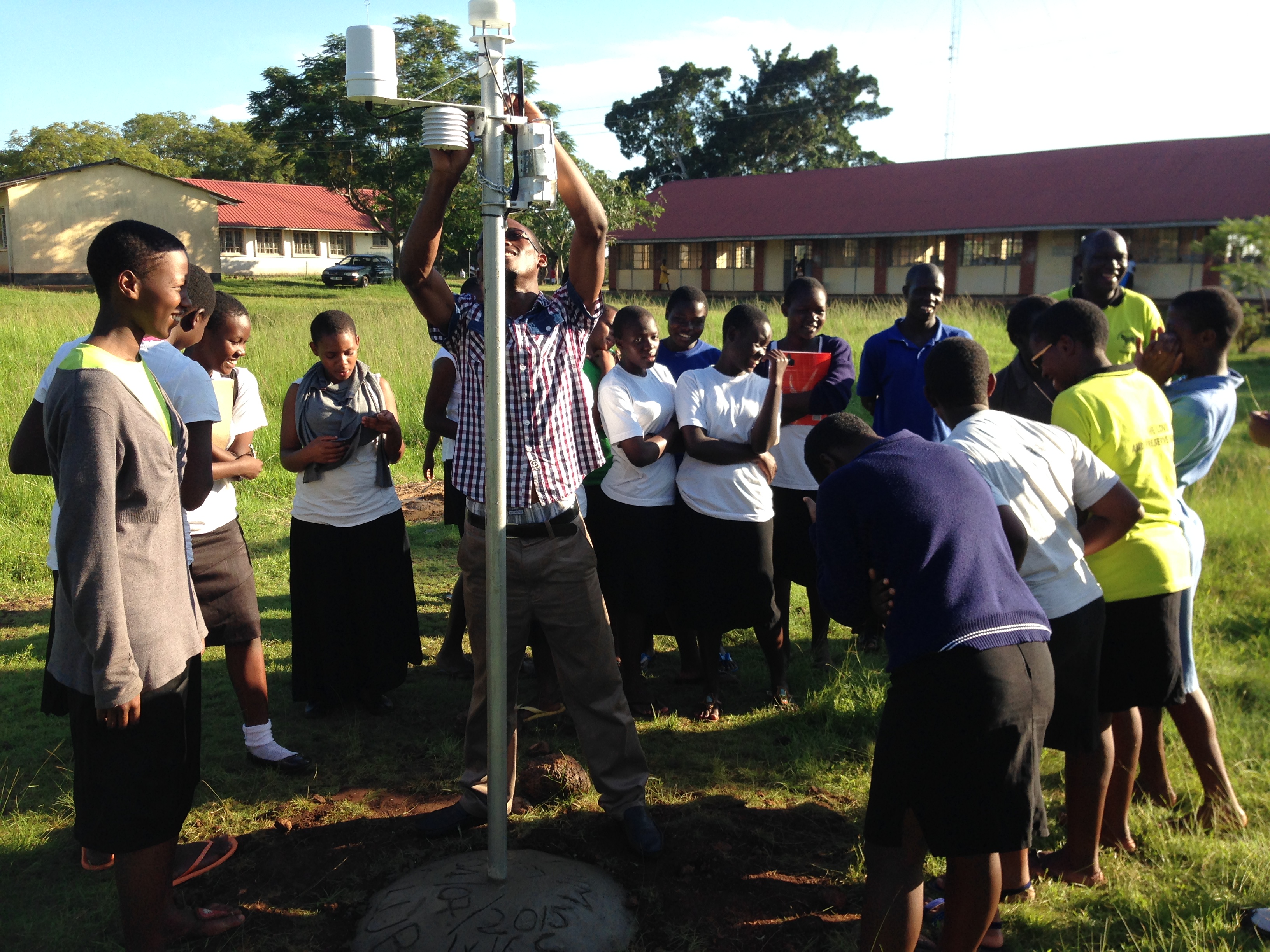
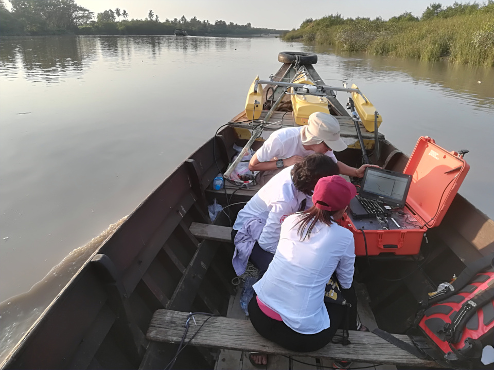
The start-up phase proved to be a protracted one. Van de Giesen and Selker had to pore over business models, import regulations, MOUs – in short, they were two academics getting to grips with the organisation side of things. “It wasn’t until 2015 that we made some real progress. We now have weather stations in Ghana, Kenya and Uganda and fieldwork projects are under way. In Nigeria, researchers saw what we were doing and have started their own project!
Now there are 500 weather stations and TAHMO is operational in 21 countries. For the first time, we are receiving large-scale data – satellite data, weather models and our own measurements on the ground – all of which will be put into a mathematical model by our PhD Camille le Coz. We will show that it’s possible to collect data from Africa that are just as reliable as the data we have of the Netherlands.”
Self-sustaining
After thirty years of fieldwork in Africa Van de Giesen knows like no other that when a project comes to an end, so does the infrastructure that supports it. “There is simply not enough money to maintain it. That is why it’s essential for TAHMO to become self-sustaining. Selling data is one way of doing that. We can use the revenue to maintain the network and extend it all over the continent.”
Agricultural Insurance
In West Africa, there is cooperation with the Ghana Agricultural Insurance Pool (GAIP), a company that offers services to local insurers with 'Weather Index-based Crop Micro-Insurance'. “When you insure your crops in the Netherlands, someone will visit you in the event of damage. In Africa farmers often only have one hectare of farmland or less. It is impossible to send an agent to each and every hectare to make a damage report. Instead, GAIP uses data from our weather stations. If there is a draught during a certain time period and your farm is within 10 kilometres of a certain weather station, you will be paid automatically.”
GAIP is a good example of a working model which helps to increase the food production in Ghana. “Which commercial model works, differs per country. Uganda and Rwanda are neighbouring countries. In Rwanda everything is organised via the government, whereas in Uganda privatisation is growing. That’s why I recommend each researcher who wants to do work in Africa: visit the place as soon as possible, look around you, be open minded and don’t get frustrated. It is not a better place, or worse, just different.”

