TimeTravel: Digital archives of Amsterdam’s underground structures for circular building practices
In summer 2020, part of a quay wall in Amsterdam collapsed, and in 2010, construction for a parking lot in Amsterdam was hindered by old sewage lines. New sustainable electric systems are being built in places where industry thrived in the 19th century. Carola Hein received a Kiem Grant to map invisible historical underground structures in a densely built-up historical city. “We argue that truly circular building practices in old cities require smart interfaces that allow the circular use of data from the past when planning the future.” says Carola Hein.
Unknown and invisible historical underground structures
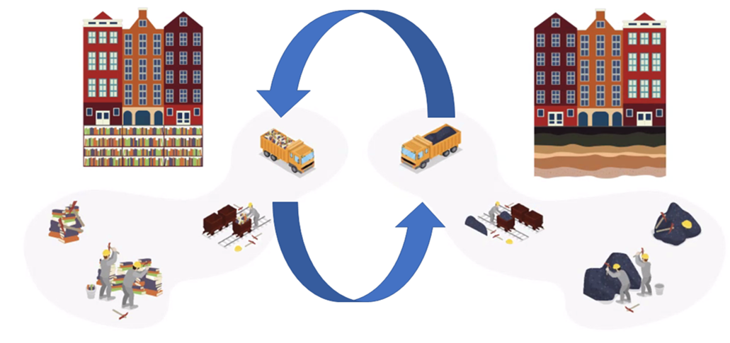
The continuous use and reuse of the same plots of land stands in stark contrast with the discontinuity and dispersed nature of project-oriented information. Construction and data technology improves, but information about the past is incomplete. “We have to break through the lack of historic continuity of data to make building practices truly circular. Future-oriented construction in Amsterdam requires historic knowledge and continuous documentation of interventions and findings over time.” states Hein. A web portal will bring together a range of diverse public and private, professional and citizen stakeholders, each with their own interests and needs.
Kiem Grant
Two creative industry stakeholders, Yume interactive (Yume) and publisher NAI010, come together to work with a major engineering office (Witteveen+Bos), the AMS Institute, the office of Engineering of the Municipality of Amsterdam, UNESCO NL and two faculties of Delft University of Technology (Architecture and department Computer Science of EEMCS) to inventorize historic datasets on the Amsterdam underground. The team will connect all the relevant stakeholders to develop a pilot methodology and a web portal connecting historic data sets for use in contemporary and future design. A book publication will document the process and outcomes, highlighting the need for circular practices that tie past, present and future.
Header: The historical map is part of a hand-drawn neighbourhood atlas produced by the Public Works Department. (Collection Stadsarchief Amsterdam: nineteenth-century neighbourhood atlas maps)
More information
Awarded: GOCI.KIEM.01.057: TimeTravel: Digital Archives of Amsterdam’s Underground for Circular Building Practices. Applicants: Carola Hein (BK), Christoph Lofi (EWI), Yume, NaiO10, Witteveen & Bos, AMS, Municipality of Amsterdam, UNESCO NL Contact person BK: Carola Hein

