REPAiR: Online exhibition
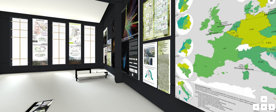
Learn all about the results of the H2020 REPAiR project. Visit the online exhibition and see how the geodesign decision support environment can help local and regional authorities to reduce waste flows and use them as a resource. Case studies, results and eco-innovative solutions are presented in virtual exhibition rooms.
Lead by the Faculty of Architecture and the Built Environment (TU Delft), more than a hundred eco-innovative solutions have been developed supporting the transition to a circular economy. Waste flows and wastescapes in six cities (Amsterdam, Naples, Ghent, Hamburg, Łodz and Pécs) are brought together on a detailed map. Within REPAiR, a multi-dimensional and multi-scale sustainable assessment framework has been developed, based on the life cycle analysis, and a cross-disciplinary methodology for generating knowledge. This demonstrates the feasibility and validity of a geodesign decision support environment (GDSE) as a tool for improving waste and resource management.
The main challenge for REPAiR was to integrate models and methods from environmental sciences, geographic sciences and economic sciences, among others, with design methods and spatial planning methods, both of software and of processes.
All results are developed within innovative co-creational peri-urban living labs (PULL) and are supported by an online geodesign decision support environment (GDSE).
The stakeholders Amsterdam, Naples, Ghent, Hamburg, Łodz and Pécs and 18 partners have worked together for four years thanks to funding from the Horizon 2020 research and innovation program of the European Union.
This project has received funding from the European Union’s Horizon 2020 research and innovation programme under grant agreement No 688920.
More information
For more information about the REPAiR project:
REPAiR (Resource Management in Peri-urban Areas: Going Beyond Urban Metabolism)

